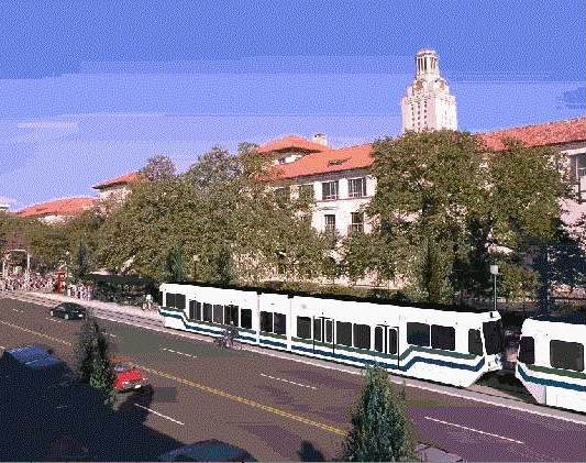
West Campus neighborhood is area in light green just to west (left) of the Drag (Guadalupe, vertical white line just to right of center). UT campus shown in orange. Map: The Galileo, rev. by ARN.
♦
The effort to reset Austin’s urban rail planning focus onto the Guadalupe-Lamar (G-L) corridor got a huge boost on October 1st with the University of Texas Student Government’s passage of a resolution endorsing a West Campus and Guadalupe-Lamar corridor alignment for the Phase 1 starter line of urban rail — thus implicitly rejecting the officially proposed East Campus alignment and route out to the Mueller redevelopment site.
Designated as AR 15, the resolution contains a number of “Whereas” clauses, with meticulous documentation of the facts and arguments underpinning the basic decisions. For example, the resolution notes that
…Future-use plans for neighborhoods that include significant student populations, including the Brentwood/Highland Combined Neighborhood Plan , the North Loop Neighborhood Plan, Central Austin Combined Neighborhood Plan, and Hyde Park Neighborhood Plan support urban rail and stations along the proposed Guadalupe-Lamar alignment; and,
… there has been over $30 million worth of studies that have looked at the feasibility of light rail transit along the Guadalupe-Lamar Corridor since the 1970s; and,
… A 2011 study at the University of California-Berkeley found that “light-rail systems need around 30 people per gross acre around stations and heavy rail systems need 50 percent higher densities than this to place them in the top one-quarter of cost-effective rail investments in the U.S.” and “the ridership gains from such increases…showed, would be substantial, especially when jobs are concentrated within ¼ mile of a station and housing within a half mile”; and,
… the largest concentration of students living off campus, West Campus, is the third-densest population district in the state of Texas with a density of over 25,000 people per square mile; and,
… a large majority of the student population along with a vast majority the Central Austin population lives along the proposed Guadalupe-Lamar alignment, totaling over 54,000 people within a quarter-mile to proposed stations ….
On the basis of this evidentiary background, declares the resolution,
BE IT RESOLVED, That the Student Government of the University of Texas at Austin is in full support of the first phase of light rail running through the Guadalupe-Lamar Sub-Corridor; and,
BE IT FURTHER RESOLVED, That Student Government will support any proposed urban rail line that prioritizes transportation access to where students are currently living….
The full resolution can be accessed as a DOC file:
UT-Stu-Govt_AR 15 – In Support of The Guadalupe-Lamar SubCorridor as Phase I of Austin Urban Rail
Certainly, if this vote by UT’s Student Government is any guide, the majority of UT students want an urban rail route to serve the West Campus, where they can most effectively use it.