
Another possible design for light rail in Guadalupe-Lamar corridor » 4A_ARN_aus-urb-Guadalupe-23-24-St-San-Antonio-Nueces_Google-Maps-screen-capture
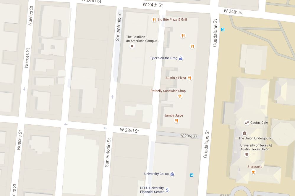
Map snippet shows Guadalupe St. at right (east), with University of Texas campus bordering on east side; San Antonio and Nueces St. in West Campus neighborhood (west of Guadalupe). Graphic: Google Maps. (Click to enlarge.)


Leave a comment